More media 5
Description
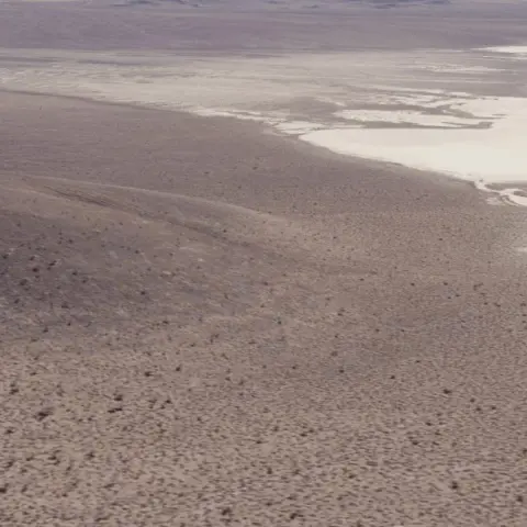
I was watching S4, the Bob Lazar story, and there is a part where they show essentially his route on a bus around the lake and how the image of the S4 region around Papoose Lake is different now. They point out the roads around the area and tire tracks on the lake, which is neat. I followed the road a ways and took these screenshots on Google Earth, and I personally could see how some of the roads do appear to just end at some of the mountains or appear to.
Comments 0
Sign in to join the discussion.
What do you think it is?
Sign in to vote. 0 votes.
👥 Other witnesses
🙋 I saw this tooSaw it too? Add your account — independent witnesses are the best evidence.
🔔 Alerts for sightings like this
Source
u/Unhappy_Future_6718 on r/UFOs
Citations
https://www.reddit.com/r/UFOs/comments/1sg8k9d/sat_images_of_papoose_…
Similar sightings described alike
 Drone like UFO's/UAP's on Google Earth. 23 cases so far...Argentina
 Planetary consciousness, UFO’s, Artificial Intelligence and the „Abyss from there is no return“
 Bob Lazar's S4 account vs photography/satellite
 The Golden-Haired, Bare-Skinned Alien of 1897Springfield
 Mage, Brazil UFO Mega postMagé · 2020
 UFO crash, Salta, Argentina + U.S. presence. 8/17/1995Salta · 1995
 Part Seven of the George H. W. Bush legacy of UFOs/UAP and the Consolidation of Power: Prescott Bush, Skull and Bones disrupting the spirit of Geronimo and creating a New World Order, and Bohemian…Magenta
 September 1st, 1969: Berkshire UFO AnniversaryGreat Barrington · 2021
No comments yet. Start the conversation.