More media 3
Show the original Reddit post
Description
(had to repost because evidently I don't know how to use Reddit LOL)
Hi all, I was browsing this site (https://gpsjam.org/?lat=60.25929&lon=-125.85225&z=3.0&date=2025-03-18) which shows you a map of the world's GPS jamming levels (for completely non-UFO related reasons LOL) when I noticed a small area of jamming occurring in northern Alaska. When I took a closer look, I was like: wait a minute, isn't that directly over the area that the UAP from Feb. 2023 was shot down?!
Sure enough, I was right. I looked at some of the historical data and discovered some interesting information that I haven't seen discussed anywhere yet:
* No GPS jamming occurred in the area while the actual shoot down and recovery operations took place (screenshot #1).
* As a matter of fact, it looks like no GPS jamming occurred in the area *at all* until 3/18/24 (see screenshot #2), which is over a year after the shoot down took place.
* The most widespread GPS jamming in the area seems to have taken place from 3/18/24-3/28/24 & 4/11/24 - 4/27/24. After 4/27, it doesn't appear that the jamming ever extends far out into the sea like it did before.
* Interestingly enough, it seems like there was a break in between those two date ranges (3/28 - 4/10) where no GPS jamming was recorded. This appears to be the longest streak of no GPS jamming since it started. After 4/11, there's pretty much always jamming recorded save for the occasional weekend here and there.
* There's only a couple days where you see jamming occurring over the sea but not Deadhorse itself. Otherwise, Deadhorse is always included in the jamming area.
* Jamming continues today (screenshot #3).
For those not familiar with GPS jamming/interference, it's something that's usually only typically done by militaries and governments in order to prevent enemy drones/planes/missiles/etc from navigating to sensitive areas. If you take a look at the map, you'll see that it most often occurs in conflict zones and areas with a lot of military presence (hence why almost the entire mainland U.S. and Europe register mild jamming every day).
As to what this information could mean, well. 🤷 We can only definitively conclude that there's something there that someone wants to hide. Given that there's not a bunch of military or gov installations in or near Deadhorse, that really narrows down what it could be.
Comments 0
Sign in to join the discussion.
What do you think it is?
Sign in to vote. 0 votes.
👥 Other witnesses
🙋 I saw this tooSaw it too? Add your account — independent witnesses are the best evidence.
🔔 Alerts for sightings like this
Source
u/Mammoth_Tiger_4083 on r/UFOs
Citations
https://www.reddit.com/r/UFOs/comments/1jeog6v/gps_jamming_over_area_…
Similar sightings described alike
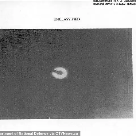 Timeline Of The 2023 UFOs Shot Down Over Alaska, Lake Huron, Yukon CanadaAlaska · 2023
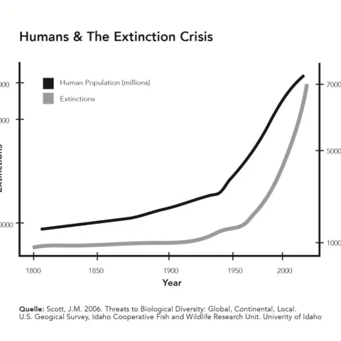 Planetary consciousness, UFO’s, Artificial Intelligence and the „Abyss from there is no return“
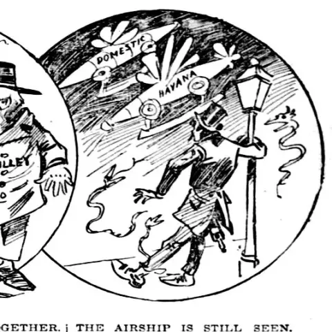 The Golden-Haired, Bare-Skinned Alien of 1897Springfield
 UAP Sightings in Puno, Peru - 12/24/2023Puno · 2023
 Lake Minchumina and the Underground Pyramid in Alaska, I think i miiiight have found the location!Alaska
 I've decided to open source my research into vacuum balloons and a potentially new approach to nano foams. This information is very interesting when compared to the UFO metal sphere analysis…
 September 1st, 1969: Berkshire UFO AnniversaryGreat Barrington · 2021
 "2027": Is there reasoning for the "2027" date being relevant to disclosure based strictly upon U.S. classification laws? (tl;dr: yes, potentially)2024
No comments yet. Start the conversation.