More media 1
Show the original Reddit post
Description
Hello Reddit UFOs.
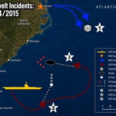
This info graphic is intended to help visualize the geometry and sequence of events surrounding the USS Nimitz incident on 14 November 2004. It represents my personal interpretation of the incident based on years of reviewing publicly available witness testimony, official report, podcast, interviews, documentaries, and other media related to the event.
I have made every effort to position assets and paths using distances in relative locations that I believe are reasonably consistent with the available information. While the map itself is intended to be geographically, accurate, and scale, many of the icons, symbols, and graphics have been intentionally enlarged in order to improve readability and clearly communicate the events depicted.
This illustration should be viewed as an educational visualization rather than an authoritative reconstruction. Other interpretations of the available evidence are certainly possible, and some witness accounts contain uncertainties or conflicting details. The purpose of this graphic is simply to provide a clear visual reference for understanding, one plausible reconstruction of the event.
Comments 0
Sign in to join the discussion.
What do you think it is?
Sign in to vote. 0 votes.
👥 Other witnesses
🙋 I saw this tooSaw it too? Add your account — independent witnesses are the best evidence.
🔔 Alerts for sightings like this
🌤️ Sky conditions weather, moon, planets, satellites, aircraft & launches at that time
Source
u/fat_earther_ on r/UFOs
Citations
https://www.reddit.com/r/UFOs/comments/1v9fa02/the_nimitz_incident_an…
Nearby sightings within 100 miles
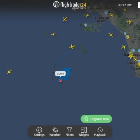 Heavy US Air Force activity tonight off the coast of San Diego and south of San Clemente Island. Approximately a dozen USAF aircraft out flying routes right now (12:30ish PST 12-7-24).Same place
 Analyzing the Physics of the 2004 USS Princeton Encounter: 5,370 Gs, Metric Engineering, and the Interdimensional Hypothesis.Same place
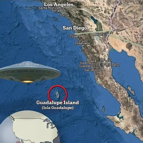 2004 USS Nimitz UAP near Sheehan's alleged NHI Base locationSame place
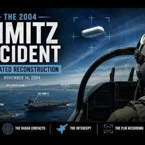 The Nimitz Incident: An Animated ReconstructionSame place
 20 YEARS AGO THIS WEEK: 'The Nimitz Encounters', Dave Beaty's unsurpassed re-creation of the Nimitz Tic Tac UFO event, 14 Nov 2004.Same place
 I went to post some of my fav UAP videos today and found out they’re fakes…Same place
 Best Tic Tac UFO video ever?Same place
 The Chilean UAP is the TicTacSame place
 A Quick Revisit: The Nimitz Encounters❗️Same place
 60 Minutes Takes on Drone Incursions But Misses the Bigger PictureSame place
 Original F-16 radar lock-on footage of a UFO & interview with Belgian Air Force Maj. Gen. De BrouwerSame place
 [ANALYSIS] USOs & Transmedium Physics: From Columbus' Logbook to the Nimitz Tic-Tac, Why the Ocean Is the True Center of the UAP MysterySame place
Similar sightings described alike
 Do Historical “Sky Battles” Resemble Modern UAP Reports? A Source-Critical Study of Nuremberg 1561, Basel 1566, Stralsund 1665, and the PURSUE FilesNuremberg
 The Roosevelt Incidents: An Infographic Map (v2)Pacific Ocean off San Diego
 Data Suggests NHI Disclosure Before 2030
 I investigated the two unexplained image events in Apple TV’s ISS “Australia” Aerial frame-by-frame — looking for the original ISS source or a reproducible conventional explanationAustralia
 Mage, Brazil UFO Mega postMagé · 2020
 The Palimpsest Device and The Fatima Case
 Recently posted "proof" of MJ-12 docs is actually disproof - new analysis2026
 The 834021 Documents - New Evidence Confirms Stanton Friedman's Research of Controversial MJ-12 PapersVirginia
No comments yet. Start the conversation.