More media 12
Description
some maps with sat imagery, land ownership, elevation data, magnetic and gravity geophysics, and aster alteration data for that area in UT at 38°37'40.0"N 113°40'40.0"W. Paging u/tharustymoose.
What stands out to me is the gravity low, the high-res elevation data over this area, and the ferric iron alteration in rocks. None of that is anomalous on its own or at the regional scale, but at these scales they stand out.
Comments 0
Sign in to join the discussion.
What do you think it is?
Sign in to vote. 0 votes.
👥 Other witnesses
🙋 I saw this tooSaw it too? Add your account — independent witnesses are the best evidence.
🔔 Alerts for sightings like this
Source
u/WormLivesMatter on r/UFOs
Citations
https://www.reddit.com/r/UFOs/comments/18hp0rf/maps_for_john_lear_and…
Similar sightings described alike
 My UFO Propulsion Theory (v 3.0): An in-depth guide for how to build your own Flying Saucer.
 Let's Add Them Up: A Compilation of Alleged UFO videosGreat Falls
 UFO crash, Salta, Argentina + U.S. presence. 8/17/1995Salta · 1995
 "Bricking" UAPs Part 2 - Sorry to HAARP on about it
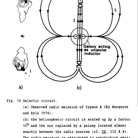 Are nuke-induced Compton Scattering mechanisms creating MHD waves in the Earth’s magnetic fields and “bricking” UAPs, as Lue Elizondo has hinted?2022
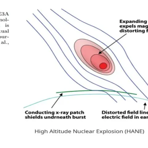 Were the U.S. military and private contractors considering using nuclear explosion-induced ionospheric plasmas as an Anti-Access/ Area Denial (A2/AD) defense against hostile UFO/UAP incursions, as…
 McMinnville 1950 UFO : Revisited + Similarities to F18 UFO VideoMcMinnville
 Do Historical “Sky Battles” Resemble Modern UAP Reports? A Source-Critical Study of Nuremberg 1561, Basel 1566, Stralsund 1665, and the PURSUE FilesNuremberg
No comments yet. Start the conversation.