More media 1
Show the original Reddit post
Description
This is historical satellite imagery from Google Earth dated 2/24/2000, a little over four years after the Varghina incident, using coordinates given out by James Fox. This is the closest dated image available via Google Earth to the crash. I was really hoping to see some obvious sign of ecological disturbance that would be consistent with the crash, recovery, and chemical mess described in Moment of Contact…or maybe burning, etc…..but I’m just not seeing anything. I am absolutely no expert on this, so is there something anyone else sees I am I overlooking? Is four years enough time for this area to return to a more natural state?
Comments 0
Sign in to join the discussion.
What do you think it is?
Sign in to vote. 0 votes.
👥 Other witnesses
🙋 I saw this tooSaw it too? Add your account — independent witnesses are the best evidence.
🔔 Alerts for sightings like this
🌤️ Sky conditions weather, moon, planets, satellites, aircraft & launches at that time
Source
u/EDM3000 on r/UFOs
Citations
https://www.reddit.com/r/UFOs/comments/15izs3z/varginha_ufo_crash_sit…
Nearby sightings within 100 miles
 [James Fox] Leslie Kean reveals for the first time that her intelligence contacts confirmed the authenticity of the Varginha UFO crash. This means a lot for me and my team in Brazil. Courtesy of Jay…Same place
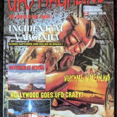 1996 Article on the Varginha Incident from UFO MagazineSame place
 Varginha, Minas Gerais, Brasil (1996) - VIDEO of Little Brown Guy (From X).Same place
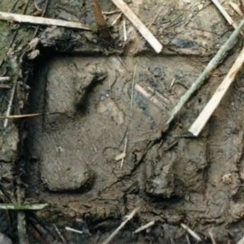 Rare Pictures of physical traces from a UFO landing in Brazil, Oct 1995, near Sao Paolo. (A few months before the Varginha crash and in a neighboring state.)Same place
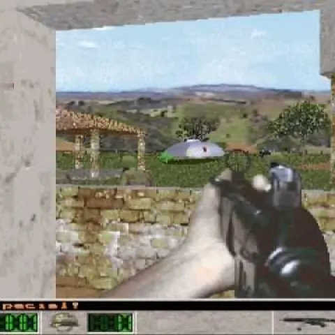 TIL There was a videogame made 1998, 2 years after the Varginha Incident, depicting most of the themes and stories we know from Moment of Contact.Same place
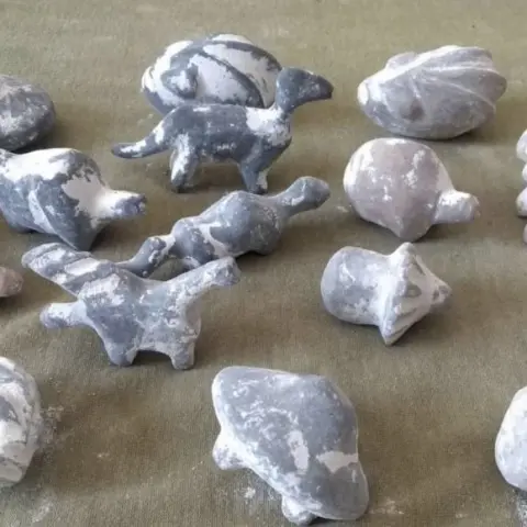 Someone needs to analyze the age of these sculpturesSame place
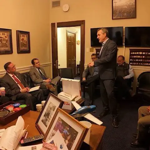 Rep. Anna Luna and Rep. Eric Burlison met with witnesses of the 1996 Varginha Brazil UFO crash.Same place
 New update on the Varginha CaseSame place
 Moment of Contact II to be released this year according to George Knapp. QUESTION: What is everyone’s take on why the Varginha being, ‘Red Eyes, Little Horns, Black’ is a different description than…Same place
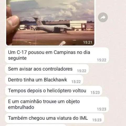 Varginha ET autopsy in Campinas, SP - Brazil, Did it happen?Same place
 On purported CIA/Men in Black involvement in the Varginha, Brazil case. James Fox submitted a FOIA request for a USAF plane that was involved: “It came back from the CIA, and it's like basically…Same place
 The only worthy 1:05 min from the alleged Varginha alien. (4 cuts joined)Same place
Similar sightings described alike
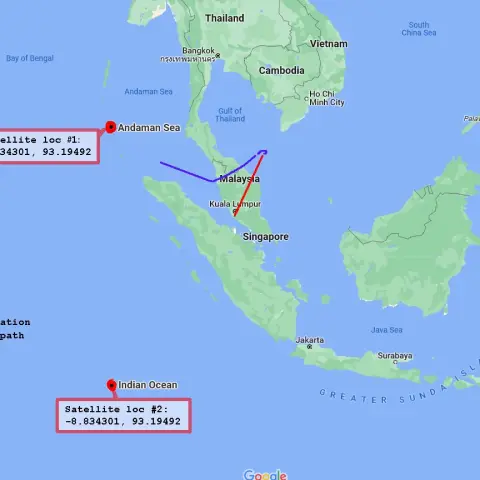 MH370 Airliner videos part III: The rabbit hole goes deeper than we thought2014
 Do Historical “Sky Battles” Resemble Modern UAP Reports? A Source-Critical Study of Nuremberg 1561, Basel 1566, Stralsund 1665, and the PURSUE FilesNuremberg
 Drone like UFO's/UAP's on Google Earth. 23 cases so far...Argentina
 All this talk about technology transfer to the private sector and speculations about mysterious finds in Antarctica look pretty interesting now that I'm investigating the history of Antarctic…
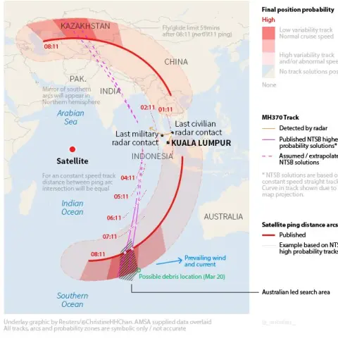 MH370: Outstanding issues with the coordinates, time of day, and satellite pings that haven't been addressed.
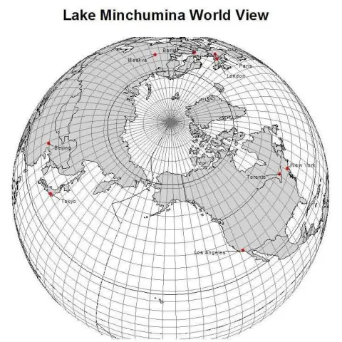 Lake Minchumina and the Underground Pyramid in Alaska, I think i miiiight have found the location!Alaska
 UFO crash, Salta, Argentina + U.S. presence. 8/17/1995Salta · 1995
 Recently posted "proof" of MJ-12 docs is actually disproof - new analysis2026
No comments yet. Start the conversation.