More media 1
Show the original Reddit post
Description
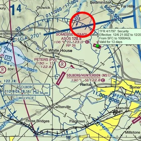
I haven't seen anyone discuss the current airspace restrictions the FAA has in place over New Jersey, but thought it would be good for everyone to review this information.
The red dots on this map are (mostly) the "No Drone Zones" recently enacted. The size of the dot is the *actual radius* of the zones.
I reviewed the TFR's, and they all encompass main portions of the utility grid (including nuclear power plants, electric substations, and gas generator facilities) or military installations. While these restrictions should do good for restricting drone flights around critical infrastructure points, they do nothing for drones in the air anywhere else that isn't in a red circle.
Comments 0
Sign in to join the discussion.
What do you think it is?
Sign in to vote. 0 votes.
👥 Other witnesses
🙋 I saw this tooSaw it too? Add your account — independent witnesses are the best evidence.
🔔 Alerts for sightings like this
🌤️ Sky conditions weather, moon, planets, satellites, aircraft & launches at that time
Source
u/WeAreIAm on r/UFOs
Citations
https://www.reddit.com/r/UFOs/comments/1hic6at/restricted_airspace_fo…
Nearby sightings within 100 miles
 UFO disclosure? NJ Sen. Kim still wants answers on "drones" — “I keep hearing different things”Same place
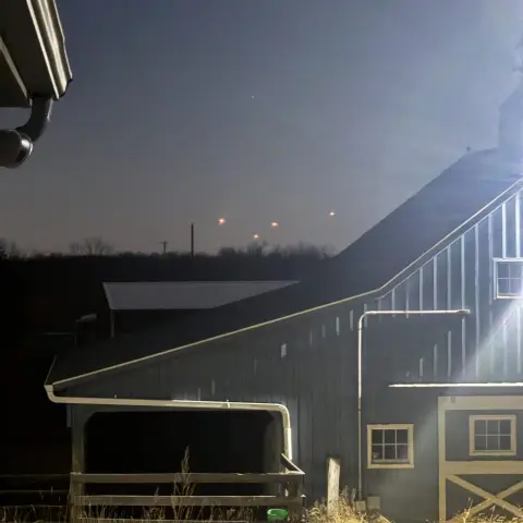 Taken near McGuire Air Force Base in New JerseySame place
 Mysterious Drone Sightings Over New Jersey Persist Weeks After Initial Reports | NewsNation SpecialSame place
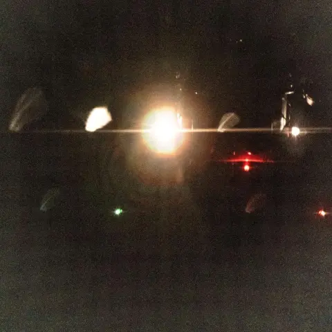 Best photos of drones so farSame place
 Unidentified Drones Over New JerseySame place
 New Jersey Drone ShooterSame place
 Since there’s an apparent major uptick in debunking posts today, I’m going to repost a video from the NY/NJ area that needs to be seen again. This is not an airplane, nor a conventional drone. Nor a…Same place
 5 Orbs / Drones over New Jersey appearing one after the other, footage taken by @livecrisisintel on TwitterSame place
 OBA1 beach cam activity.Same place
 Weird spotlights over North Bergen, NJ. View is from west side Manhattan, Columbus Circle area. Can anyone confirm if these are just spotlights from an event?Same place
 Lebanon, New Jersey report: That's how New Jersey people should report here instead of posting literal planesSame place
 Regarding "Close up picture of 'drone' from professional photographer on Facebook"Same place
Similar sightings described alike
 FAA puts up TFR overnight near Somerset NJ
 Observation of airborne metallic "spheres" prior to Air Force One takeoff from LAX airport (December 10, 2023; 1080p; professional video; repeat observations)Los Angeles · 2023
 "2027": Is there reasoning for the "2027" date being relevant to disclosure based strictly upon U.S. classification laws? (tl;dr: yes, potentially)2024
 Whistleblower Jake Barber is the supposed author of 'Sentinels of Ether,' both teased out a year ago by u/Joeyisnotmyname, in which Barber depicts a rogue Government agency using hidden bases and…2024
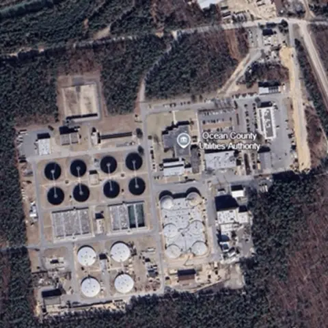 Forgotten Languages: New Jersey kinetic strike test: Threat Analysis of sUAV-driven attacksNew Jersey
 My observation - finally after 20 years I decided to present my story to a wider audience - UPDATE and some important topic
 Orb Sighting over Chiang Mai Thailand - 25.10.24Thailand
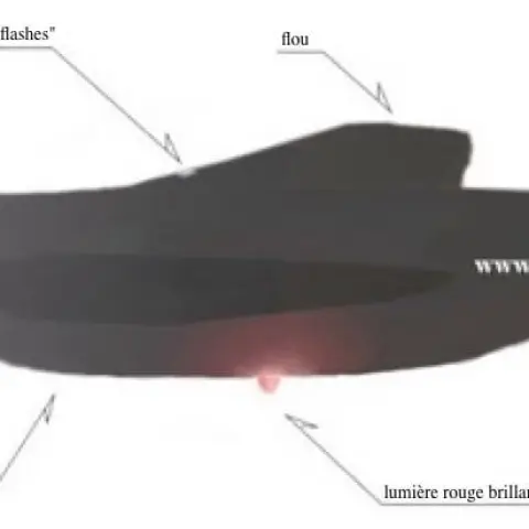 OCT-NOV 2014 more than 40 "Drones" incursion over multiples nuclear power plant site , synchronously by time at different location across the country. (Linked to UK drones )United Kingdom
No comments yet. Start the conversation.